Gallery

Historical views along the Stroudwater Canal.

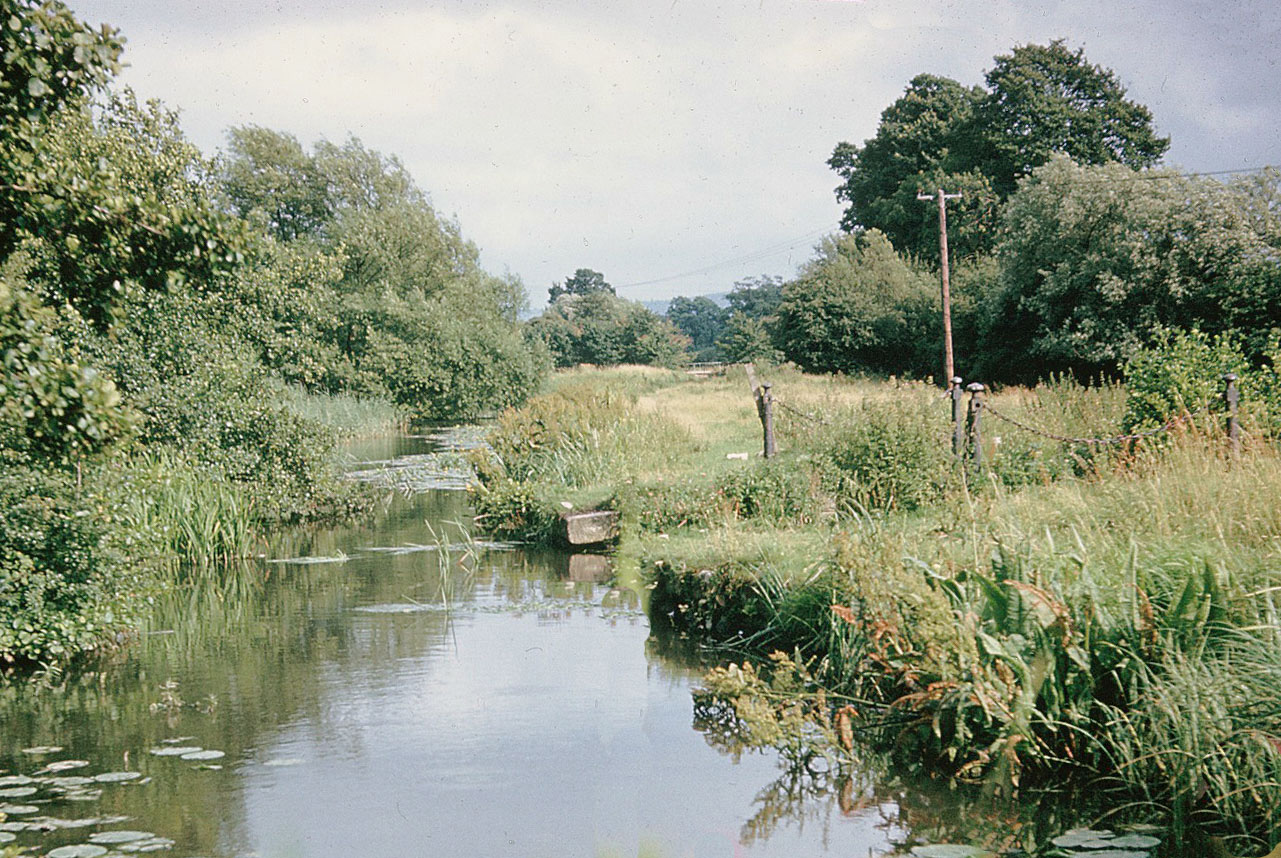
Whitminster Lock in the 1950s, for which the change in level was only a few inches, after the pound beyond was raised by 5 feet to suit the level  of the Gloucester & Berkeley Canal in 1827.  (Richard Lord)
Whitminster Lock in the 1950s, for which the change in level was only a few inches, after the pound beyond was raised by 5 feet to suit the level of the Gloucester & Berkeley Canal in 1827. (Richard Lord)
Whitminster Lock in the 1950s, for which the change in level was only a few inches, after the pound beyond was raised by 5 feet to suit the level  of the Gloucester & Berkeley Canal in 1827.  (Richard Lord)
Whitminster Lock in the 1950s, for which the change in level was only a few inches, after the pound beyond was raised by 5 feet to suit the level of the Gloucester & Berkeley Canal in 1827. (Richard Lord)


Occupation Bridge, Whitminster, which provided access to the farmer's fields that were cut off when the canal was constructed in the 1770s. (Cotswold Canals Trust)


Stonehouse Court before the alterations in the early 20th century. (Howard Beard via Stonehouse History Group)


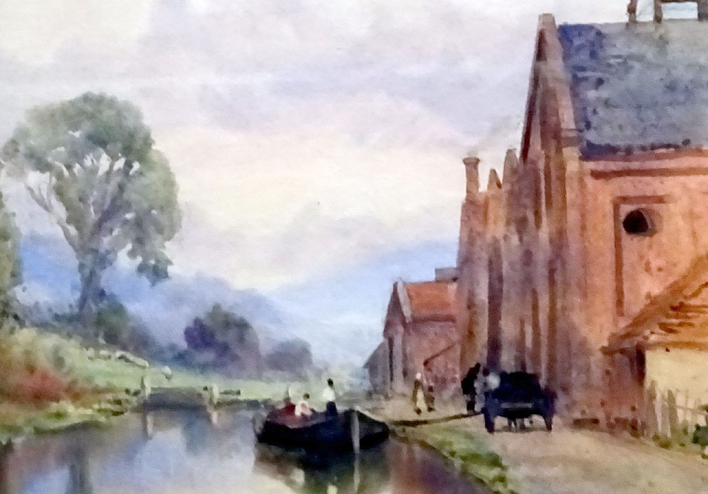
Ebley Mill with a barge on the canal in the foreground. (Museum in Park 2194)


Stroud Gasworks with a barge alongside, from which coal was being discharged by men carrying a hand barrow across a wooden plank. (Museum in Park STGCM 1948.517)


Site of Former Aqueduct at Whitminster in the 1950s. (Richard Lord) The posts and chains mark where the River Frome formerly dipped down under the canal (centre left) before the aqueduct was opened up to reduce the risk of flooding.


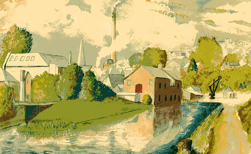
Wallbridge Basin, with its warehouse and crane on the right, and the entrance to the Thames & Severn Canal on the left. (Neil Herapath)


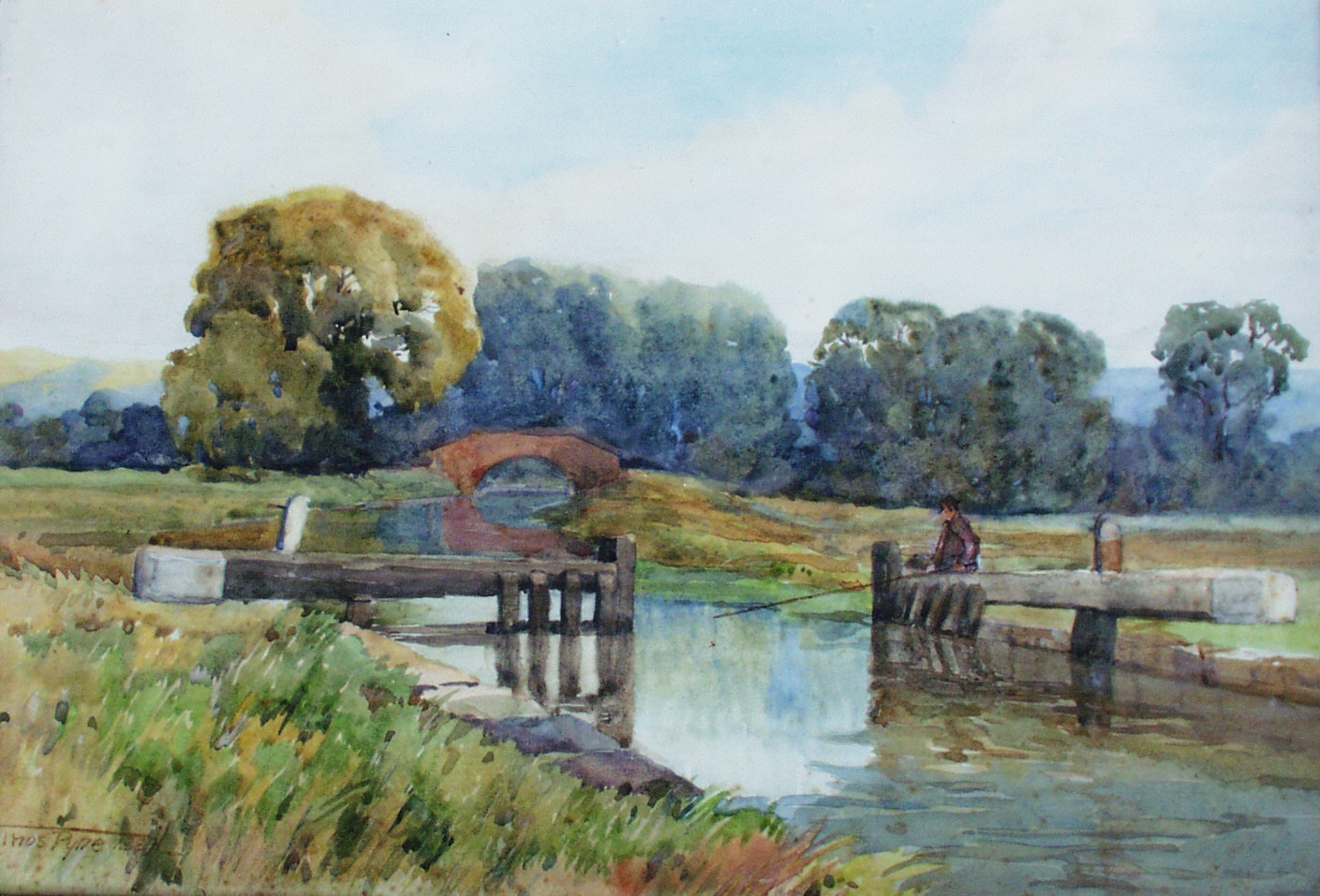
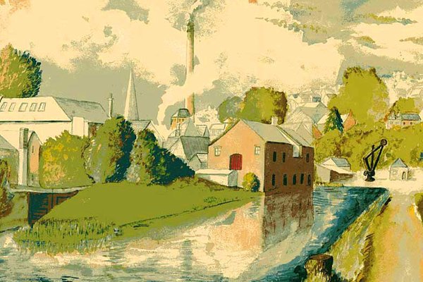
Bristol Road Lock and Hydes Bridge by Thomas Pyne. (Ken Burgin) The bridge provided access to the farmer's fields that were cut off when the canal was constructed in the 1770s.
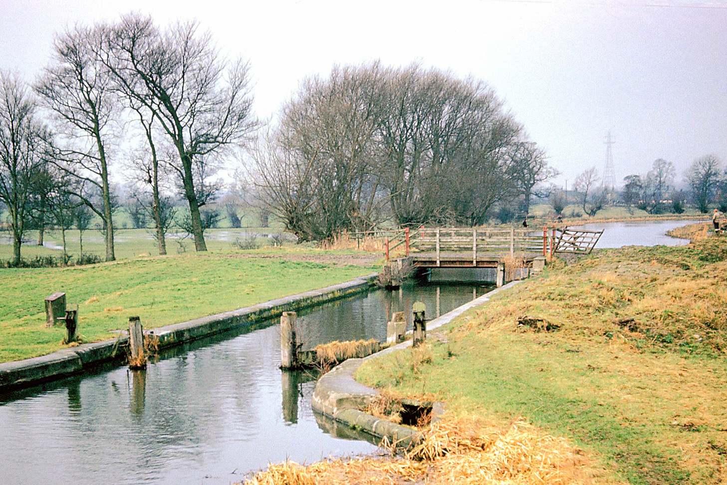
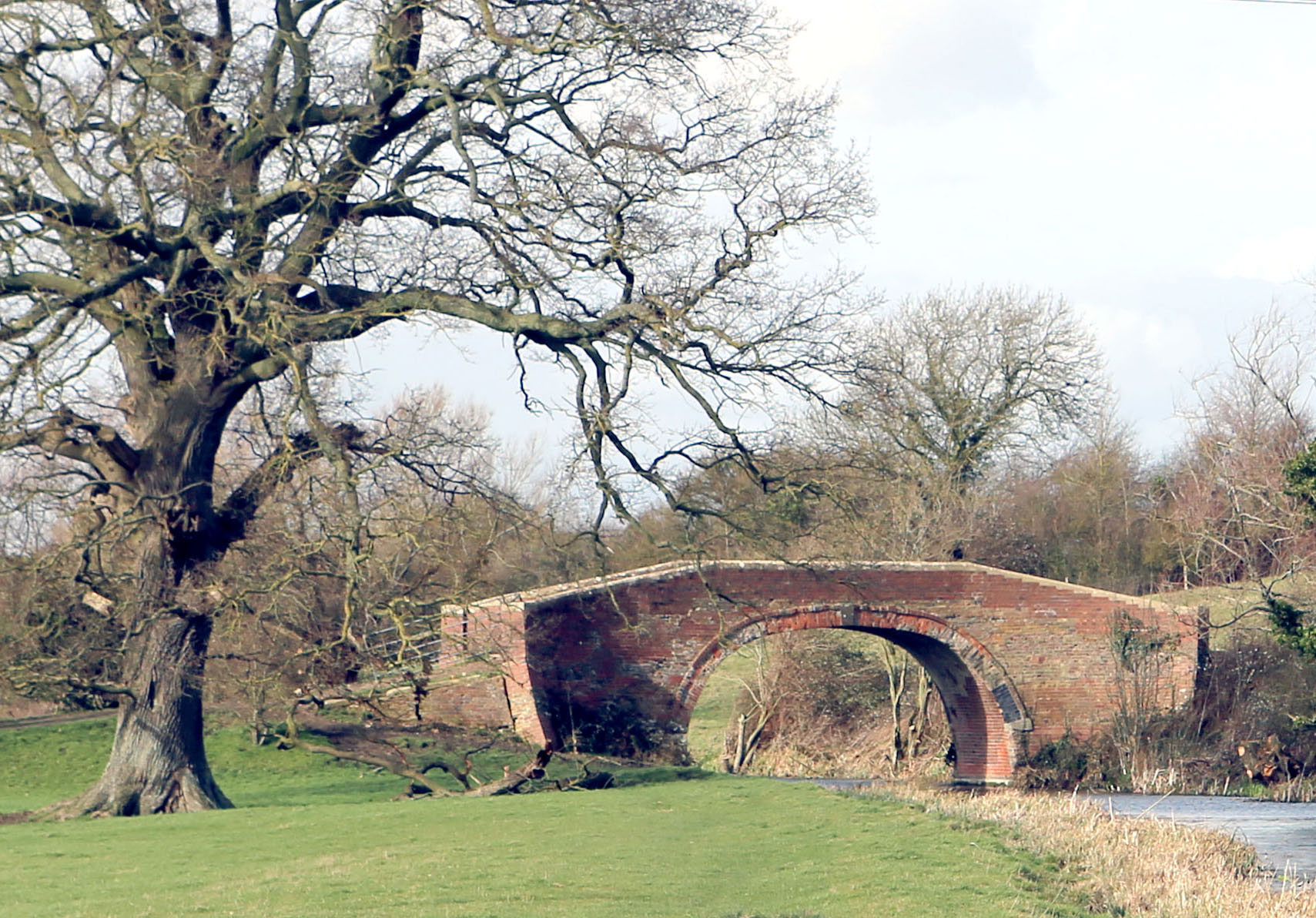
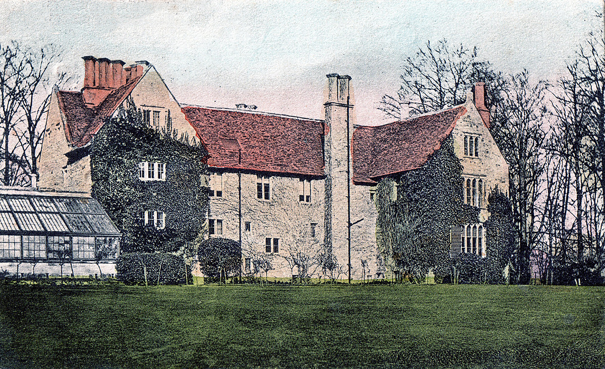
Photo of Wallbridge Basin 1931